ROUTE ILLAS CIES NORTE & SUR
FRIDAY, MAY 23
In a walking festival like this one could not miss a route through the spectacular Cies Islands, which are part of the National Park of the Atlantic Islands of Galicia, created with the aim of preserving this natural space, promoting their knowledge and enabling compatible public use With the conservation of nature. We will disembark at the Rhodes Pier and walk along two of the islands on a tour where the history, landscape and nature of this privileged archipelago are perfectly mixed.
Difficulty LOW
14 kilometers
7 hours
+-715 m slope

Make your reservation for the GWF Rias Baixas Program
-
 GWF Rias Baixas 1 Pax Shared Double Room975,00€
 -
 GWF Rias Baixas 1 Pax Single Room1.235,00€
 -
 GWF Rias Baixas 2 Pax Double Room1.950,00€
This paradise of the Cíes Islands, located at the entrance of the Ría de Vigo, are formed by the islands of Monteagudo, Faro and San Martiño, which were formed at the end of the Tertiary, when the subsidence of some parts of the coast occurred, with what the sea penetrated and the estuaries were created, being these islands of granite stone the peaks of the coastal mountains that were partially under the sea. The configuration of the islands has two distinct parts. The eastern part of the interior of the estuary is a soft coast with great sand and forests, while the western part is a succession of cliffs and caves formed by the action of the sea, where thousands of bird couples have their habitat in an area considered Zone of Special Bird Protection.


The first settlements in the castro located on the island of Monte Faro were in the Bronze Age (500 BC). The Cies Islands appear in several Roman writings of Pliny, believing that Julius Caesar was in 58 BC. in his struggle with the Hermines, inhabitants of northern Portugal, as part of the empire’s expansion campaign. Like the entire Galician coast, the island suffered attacks from Norman pirates and, in the eleventh century, there is evidence of the appearance of the first monasteries of the Benedictine order. With the construction of the Convent of San Estevo on the Island of Faro and the Convent of San Martiño, the islands are repopulated until the arrival of the pirates again, among them, the famous Drake, which stood out on the island and devastated much of the Ría de Vigo. As of 1700 and due to these continuous pirate incursions and the later ones of French and English people, the island remains empty.
At the beginning of the 19th century, families from El Morrazo set up, beginning a time of prosperity based on fishing and livestock. At that time there was a barracks of police and two salting factories on the island. In 1840 the islands are annexed to the municipality of Vigo. But these isolation conditions are very hard and people leave the island progressively, until in 1970 it becomes empty.
It is from there, from the 70s, when its tourist boom begins. Since the first hippies of that time there have been many visitors who have chosen these islands to enjoy a vacation in full integration with nature. Without a doubt, one of the most beautiful places in Galicia. In 1980 they are declared Natural Park and in 2002 National Park. They are owned by the Xunta de Galicia and have a maximum daily allowance of 2,200 people.
This route will take us through two of the islands, Faro and Monteagudo on a route where history, landscape and nature blend perfectly.

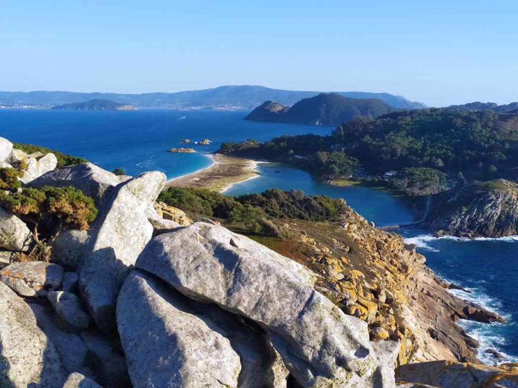
Our arrival on the Island is at the Rhodes Pier, next to the beach of the same name. After passing the dune complex of Figueiras-Muxieiro with endemic flora species, today already disappeared in the rest of the coast like the camariña, we begin our walk through the bridge that forms the Lake of Children and that joins the two islands. This salty lake, opened to the sea by the jetty that crosses the bridge, is the ideal ecosystem for many species, being able to see even its octopus in its crystalline waters.
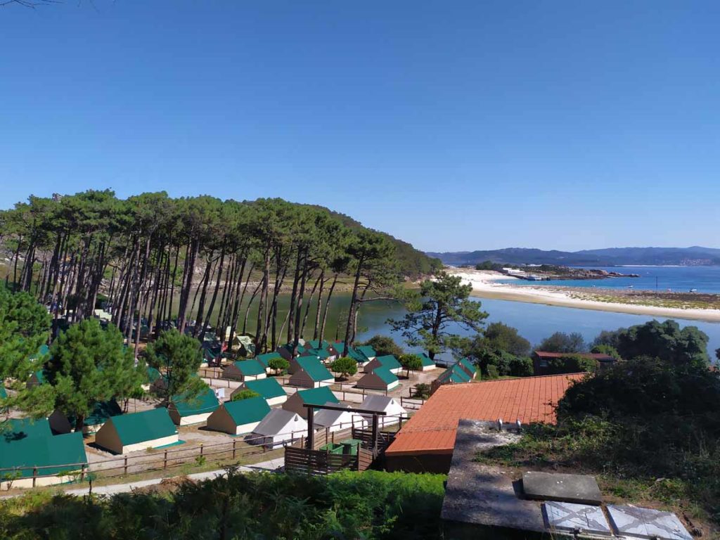
Thus we arrive at the camping area, equipped with all the services and highly recommended to spend a few days there. From there, we begin our ascent to the lighthouse. The first thing we find is the Nature Interpretation Center, located in the old Convent of San Estevo, where they offer the visitor numerous information and explanatory panels of what will be found on the route. We can also see one of the anthropomorphic graves of the old convent.
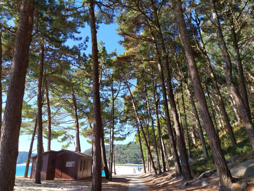

Throughout the road we see large rocks, eroded in the most varied ways, among which the so-called A Campá stands out. Little by little, we realize that we are in territory that is not ours: thousands of birds have built their nests between the rocks and are the owners of the cliffs. Being very careful and always respecting the maximum, in breeding season we can see the chicks waiting for the arrival of their mothers with food. From the Alto da Campá Observatory, we contemplate the entire cliff with thousands of seagulls and cormorants flying over the Atlantic Ocean.

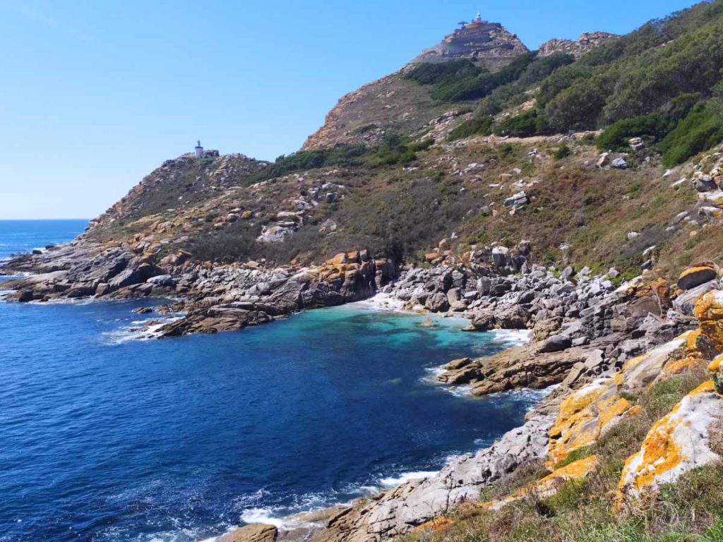
We resume our steps and begin the ascent to the lighthouse, with breathtaking views of the South Island, only accessible by private boat. In it you can find the remains of an old salting factory and a mill.
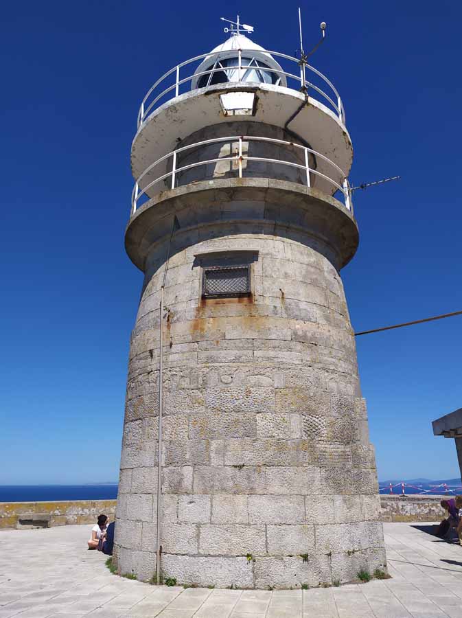
The Islas Cíes Lighthouse is located on a granitic promontory at 187 meters altitude and serves as a guide, with the Silleiro Lighthouse, for navigation through these busy waters. From its base we can contemplate, on clear days, a great panorama of all the Rías Baixas. On the one hand, Cabo Silleiro and the distant Monte de Santa Tegra. To the other, the neighboring Ons Island and the Morrazo Peninsula.


We will return to the lower part of the path, arriving at the Porta Lighthouse, which signals the passage channel with the South Island.
On this hillside was the primitive Castro das Hortas, where pieces of stone were found, remains of bones and a large number of small pieces of pottery that can now be seen in the Quiñones de Castrelos Museum. This indicates that the islands were territory of passage in the Paleolithic and Neolithic, but that this is the first documented settlement, from 2000 BC, in the Bronze Age.

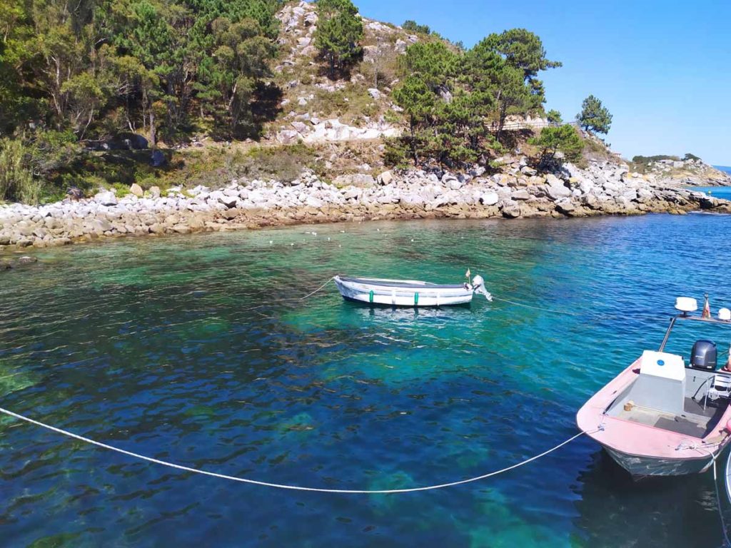
The remains of shells found in the place of Os Cuncheiros indicate a food based on fish and seafood. The anchors of stone and the remains of ceramics indicate the relations with the rest of towns scattered throughout the coast. And a small stone mill, discovered in 2010, also demonstrates a later Roman influence. The state of conservation is dismal. A section of one hundred meter wall and a small circular structure inside it is preserved.
Very close to the castro there is a small pier and a huge deposit formed by shells and animal remains from Os Cuncheiros. From the Nosa Señora Beach we see the nearby Islote de Viños.
We finish this route through the Faro Island with a well-deserved bath in Rodas Beach, an extensive beach that connects the two islands with a fine sand that seems to complain under our feet. This beach has been considered by the British newspaper The Guardian as one of the best in the world.


From the Rhodes pier the route begins on Monteagudo Island, the island located further north.
Through the dunes of Muxeiro we arrive at Figueiras Beach, a small sandy area that becomes a naturist paradise within the islands.


On a path that will give us continuous landscapes and great viewpoints on the estuary and the nearby Costa da Vela, we reach the northernmost part of the island, where we have another privileged bird observatory on the cliffs. We resume our steps to visit the small Peito Lighthouse.
La Furna de Monteagudo is one of the many caves that exist on the islands, with many meters of underground galleries.
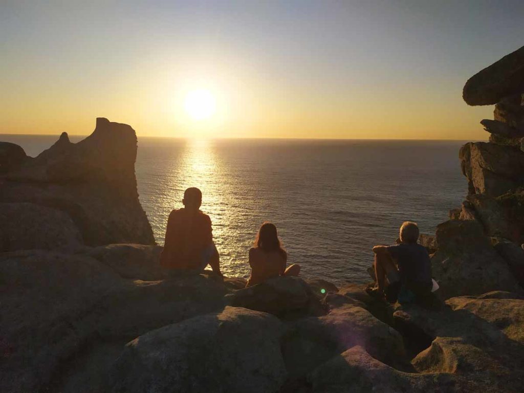
We return to the main path of the Alto do Príncipe, where we have one of the iconic photos of the Cíes Islands and, probably, of Galicia. From The Queen Chair (Silla da Raiña) we can see the contrast between the western face of the islands, steep and full of small caves, and the face of the interior of the estuary, softer and occupied by Rodas Beach.

From there we go down to the main crossing and continue to the Rhodes Pier to take the boat and finish this route through one of the wonders that we have to keep in Galicia.
Park Regulations
To get to Cíes Islands, boats from Vigo and Cangas leave every day of the summer. Remember that you have restricted access and it is necessary to request permission to access them, in order to preserve, preserve and regenerate this natural space, promoting your knowledge and enabling a public use compatible with the conservation of nature.
For the enduring of the terrestrial and marine ecosystems of the Maritime-Terrestrial National Park of the Atlantic Islands of Galicia in general, and of the Cíes Islands in particular, it should be remembered that it is not allowed:
- Light up any kind of fire.
- Throwing or depositing any type of garbage or solid or liquid waste outside the places conditioned for this purpose.
- Camping outside of the places intended for that purpose.
- Access the marked areas as not accessible to the public.
- To annoy, injure, capture or kill wild animals
- Take out, cut or damage vegetation.
- Perform any activity that destroys, deteriorates or disturbs the unique natural elements of the area.
- The collection, destruction or alteration of any elements with archaeological, historical or geological value, both terrestrial and marine.
- The practice of diving without prior authorization.
- Practice underwater fishing and sport fishing.
- Carry or transit with any weapons, harpoons, submarine rifles or other similar tools.
- The mooring and berthing of boats and navigation, unless express authorization has been given.
- The placement of banners or commercials without authorization.
- The use of loudspeakers or producing noises that can alter the natural tranquility of the place.
- Disembark pets (except for a guide dog).
- Introduce alien species and / or plants.
- Disembark motor vehicles (except wheelchairs).
- Filming or photography for commercial purposes, without prior authorization.
Route Planning Cíes Islands
| Km Stage | Point | Height (m) | Km Total |
| 0,0 | Rodas Pier | 0 | 90,5 |
| 0,0 | Restaurant Cíes Island | 0 | 90,5 |
| 0,2 | Information Office | 5 | 90,7 |
| 0,7 | Chilren Lagoon | 0 | 91,2 |
| 1,9 | Birdwatching Cabin | 76 | 92,4 |
| 2,1 | Campá Stone | 88 | 92,6 |
| 3,3 | Cíes Island Lighthouse | 147 | 93,8 |
| 4,2 | Detour | 83 | 94,7 |
| 5,1 | Porta Lighthouse | 33 | 95,6 |
| 5,9 | Little pier | 3 | 96,4 |
| 6,2 | Nosa Señora Beach | 19 | 96,7 |
| 6,9 | Camping | 9 | 97,4 |
| 7,0 | Restaurant Camping | 9 | 97,5 |
| 7,0 | Rodas Beach | 9 | 97,5 |
| 7,9 | Information Office | 5 | 98,4 |
| 8,3 | Figueiras Beach | 10 | 98,8 |
| 8,8 | Intersection Point | 86 | 99,3 |
| 9,3 | Stone Oven | 49 | 99,8 |
| 10,2 | Monteagudo Cave | 13 | 100,7 |
| 10,3 | Peito Lighthose | 22 | 100,8 |
| 10,3 | Birdwatching Cabin | 39 | 100,8 |
| 10,5 | Ruins of little village | 66 | 101,0 |
| 11,5 | Intersection Point | 86 | 102,0 |
| 12,2 | Alto do Príncipe | 100 | 102,7 |
| 12,2 | Queen’s chair | 100 | 102,7 |
| 13,9 | Rodas Pier | 0 | 104,4 |


